
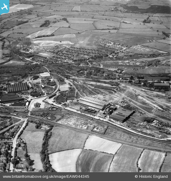
EAW044345 ENGLAND (1952). The Staveley Coal and Iron Company Ltd Works, Staveley, 1952
© Copyright OpenStreetMap contributors and licensed by the OpenStreetMap Foundation. 2024. Cartography is licensed as CC BY-SA.
Nearby Images (12)
EAW044345

EAW006280

EAW006282

EAW006281

EAW006283

EAW003060

EPW057351

EPW057337

EAW043845

EPW041677

EPW057343

EAW043846

Details
| Title | [EAW044345] The Staveley Coal and Iron Company Ltd Works, Staveley, 1952 |
| Reference | EAW044345 |
| Date | 10-June-1952 |
| Link | |
| Place name | STAVELEY |
| Parish | STAVELEY |
| District | |
| Country | ENGLAND |
| Easting / Northing | 441803, 374909 |
| Longitude / Latitude | -1.3731305396508, 53.269245322798 |
| National Grid Reference | SK418749 |
Pins
Be the first to add a comment to this image!


