
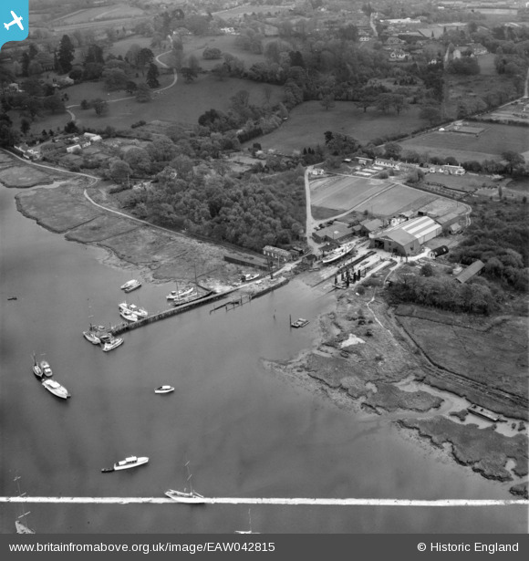
EAW042815 ENGLAND (1952). Solent Shipyards Ltd boatyard on the River Hamble, Sarisbury, 1952. This image was marked by Aerofilms Ltd for photo editing.
© Copyright OpenStreetMap contributors and licensed by the OpenStreetMap Foundation. 2024. Cartography is licensed as CC BY-SA.
Nearby Images (16)
EAW042815

EAW042816

EAW042819

EAW042817

EAW042808

EAW042811

EAW042810

EAW042813

EAW042812

EAW042807

EAW042821

EAW042809

EAW042814

EAW042820

EAW042818

EAW042822

Details
| Title | [EAW042815] Solent Shipyards Ltd boatyard on the River Hamble, Sarisbury, 1952. This image was marked by Aerofilms Ltd for photo editing. |
| Reference | EAW042815 |
| Date | 30-April-1952 |
| Link | |
| Place name | SARISBURY |
| Parish | |
| District | |
| Country | ENGLAND |
| Easting / Northing | 449146, 108656 |
| Longitude / Latitude | -1.301419612271, 50.874754012208 |
| National Grid Reference | SU491087 |
Pins
 Bob Pitman |
Sunday 8th of October 2017 07:06:33 PM | |
Bob Pitman |
Sunday 8th of October 2017 06:41:07 PM | |
Bob Pitman |
Sunday 8th of October 2017 06:40:17 PM |


