
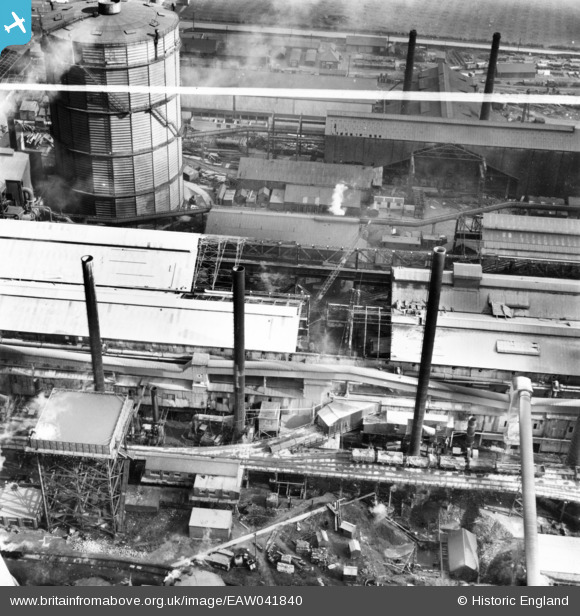
EAW041840 ENGLAND (1952). Part of the John Lysaght Normanby Park Steel Works under construction, Scunthorpe, 1952. This image has been produced from a print marked by Aerofilms Ltd for photo editing.
© Copyright OpenStreetMap contributors and licensed by the OpenStreetMap Foundation. 2024. Cartography is licensed as CC BY-SA.
Nearby Images (48)
EAW041840

EAW041841

EAW041839

EPW048947

EPW048527

EAW038748

EAW034826

EAW023924

EAW038760

EPW048524

EAW038763

EAW016660

EAW027186

EAW034800

EAW034825

EAW009639

EAW016666

EPW048949

EAW038768

EAW009629

EAW016664

EPW048525

EPW048521

EPW016304

EAW038769

EPW048531

EAW028574

EPW048943

EAW027174

EAW031185

EAW031184

EAW049666

EAW027175

EAW028572

EAW028565

EAW028567

EAW031190

EAW027173

EAW031186

EAW027172

EAW028573

EAW049670

EAW016667

EAW034812

EAW049672

EAW038761

EAW049665

EAW038762

Details
| Title | [EAW041840] Part of the John Lysaght Normanby Park Steel Works under construction, Scunthorpe, 1952. This image has been produced from a print marked by Aerofilms Ltd for photo editing. |
| Reference | EAW041840 |
| Date | 10-March-1952 |
| Link | |
| Place name | SCUNTHORPE |
| Parish | |
| District | |
| Country | ENGLAND |
| Easting / Northing | 488866, 413646 |
| Longitude / Latitude | -0.65659970786955, 53.611581331191 |
| National Grid Reference | SE889136 |
Pins
Be the first to add a comment to this image!


