
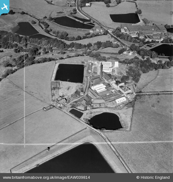
EAW039814 ENGLAND (1951). Springfield Bleach Works, Sharples, 1951.This image was marked by Aerofilms Ltd for photo editing.
© Copyright OpenStreetMap contributors and licensed by the OpenStreetMap Foundation. 2024. Cartography is licensed as CC BY-SA.
Nearby Images (7)
EAW039814

EAW039815

EAW039811

EAW039812

EAW039817

EAW039816

EAW039813

Details
| Title | [EAW039814] Springfield Bleach Works, Sharples, 1951.This image was marked by Aerofilms Ltd for photo editing. |
| Reference | EAW039814 |
| Date | 15-September-1951 |
| Link | |
| Place name | SHARPLES |
| Parish | |
| District | |
| Country | ENGLAND |
| Easting / Northing | 370866, 413259 |
| Longitude / Latitude | -2.4404461192215, 53.614831741706 |
| National Grid Reference | SD709133 |
Pins
 thomasknight |
Friday 27th of March 2015 10:37:51 PM | |
thomasknight |
Friday 27th of March 2015 10:36:48 PM |