
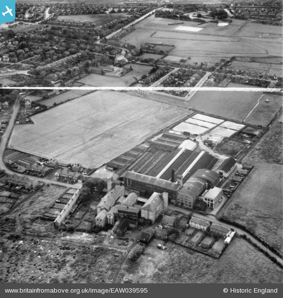
EAW039595 ENGLAND (1951). The Orford Tannery, Orford, 1951. This image was marked by Aerofilms Ltd for photo editing.
© Copyright OpenStreetMap contributors and licensed by the OpenStreetMap Foundation. 2024. Cartography is licensed as CC BY-SA.
Nearby Images (9)
EAW039595

EAW039593

EAW039589

EAW039588

EAW039591

EAW039592

EAW039587

EAW039594

EAW039590

Details
| Title | [EAW039595] The Orford Tannery, Orford, 1951. This image was marked by Aerofilms Ltd for photo editing. |
| Reference | EAW039595 |
| Date | 9-September-1951 |
| Link | |
| Place name | ORFORD |
| Parish | |
| District | |
| Country | ENGLAND |
| Easting / Northing | 361254, 390591 |
| Longitude / Latitude | -2.582949313152, 53.410446733098 |
| National Grid Reference | SJ613906 |
Pins
Be the first to add a comment to this image!