
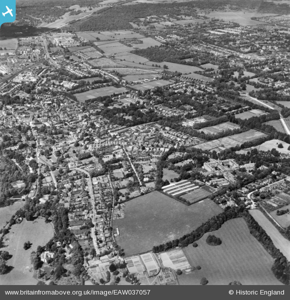
EAW037057 ENGLAND (1951). The town, Leatherhead, 1951. This image has been produced from a print.
© Copyright OpenStreetMap contributors and licensed by the OpenStreetMap Foundation. 2024. Cartography is licensed as CC BY-SA.
Nearby Images (6)
EAW037057

EAW037058

EPW025242

EPW025243

EPW006234

EPW025238

Details
| Title | [EAW037057] The town, Leatherhead, 1951. This image has been produced from a print. |
| Reference | EAW037057 |
| Date | 11-June-1951 |
| Link | |
| Place name | LEATHERHEAD |
| Parish | |
| District | |
| Country | ENGLAND |
| Easting / Northing | 517038, 156247 |
| Longitude / Latitude | -0.32126985361756, 51.2928031077 |
| National Grid Reference | TQ170562 |
Pins
Be the first to add a comment to this image!