
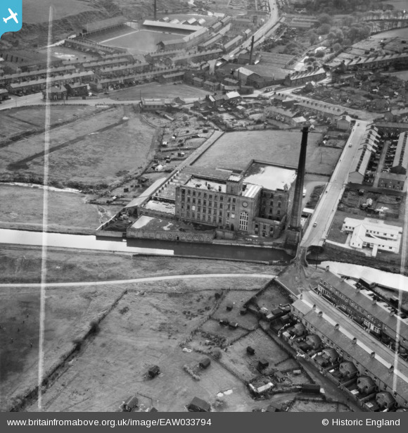
EAW033794 ENGLAND (1950). The Albion Mill, Ewood, 1950. This image was marked by Aerofilms Ltd for photo editing.
© Copyright OpenStreetMap contributors and licensed by the OpenStreetMap Foundation. 2024. Cartography is licensed as CC BY-SA.
Nearby Images (10)
EAW033794

EAW033800

EAW033795

EAW033798

EAW033793

EAW033797

EAW033802

EAW033799

EAW033796

EAW033801

Details
| Title | [EAW033794] The Albion Mill, Ewood, 1950. This image was marked by Aerofilms Ltd for photo editing. |
| Reference | EAW033794 |
| Date | 16-October-1950 |
| Link | |
| Place name | EWOOD |
| Parish | |
| District | |
| Country | ENGLAND |
| Easting / Northing | 367401, 426255 |
| Longitude / Latitude | -2.4941930258019, 53.731446839138 |
| National Grid Reference | SD674263 |
Pins
 powerpop |
Tuesday 28th of October 2014 07:47:36 PM |


