
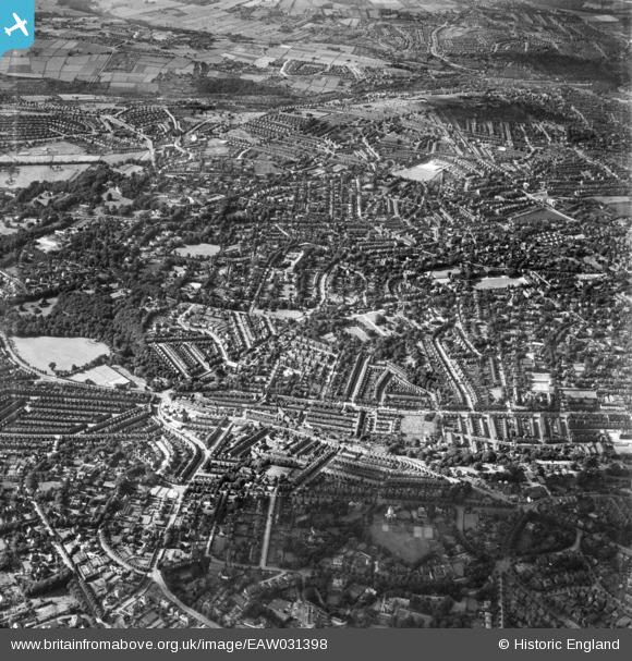
EAW031398 ENGLAND (1950). Endcliffe Park, Endcliffe Crescent and environs, Sheffield, 1950
© Copyright OpenStreetMap contributors and licensed by the OpenStreetMap Foundation. 2024. Cartography is licensed as CC BY-SA.
Nearby Images (3)
EAW031398

EAW031401

EAW006270

Details
| Title | [EAW031398] Endcliffe Park, Endcliffe Crescent and environs, Sheffield, 1950 |
| Reference | EAW031398 |
| Date | 26-July-1950 |
| Link | |
| Place name | SHEFFIELD |
| Parish | |
| District | |
| Country | ENGLAND |
| Easting / Northing | 433339, 386245 |
| Longitude / Latitude | -1.4988565904927, 53.371748689578 |
| National Grid Reference | SK333862 |
Pins
 highsidedvehicles |
Tuesday 31st of August 2021 03:31:37 PM | |
Gill C |
Monday 29th of June 2020 09:02:23 PM | |
redmist |
Saturday 19th of January 2019 07:40:25 PM | |
SirTricky |
Monday 28th of July 2014 11:49:34 AM | |
SirTricky |
Monday 28th of July 2014 11:49:01 AM | |
SirTricky |
Monday 28th of July 2014 11:20:23 AM | |
SirTricky |
Monday 28th of July 2014 11:19:59 AM |


