
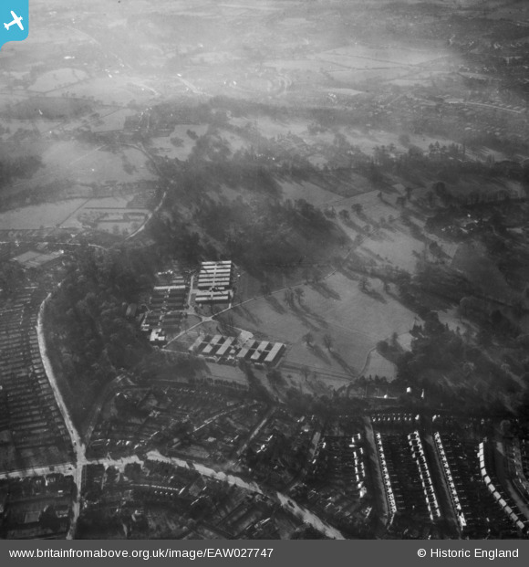
EAW027747 ENGLAND (1949). Whiteknights Park, Earley, from the north-east, 1949
© Copyright OpenStreetMap contributors and licensed by the OpenStreetMap Foundation. 2024. Cartography is licensed as CC BY-SA.
Nearby Images (2)
EAW027747

EAW027756

Details
| Title | [EAW027747] Whiteknights Park, Earley, from the north-east, 1949 |
| Reference | EAW027747 |
| Date | 2-December-1949 |
| Link | |
| Place name | EARLEY |
| Parish | EARLEY |
| District | |
| Country | ENGLAND |
| Easting / Northing | 474102, 171937 |
| Longitude / Latitude | -0.9337019530815, 51.441083189096 |
| National Grid Reference | SU741719 |
Pins
 Bob Pitman |
Wednesday 23rd of August 2017 12:28:44 PM | |
Bob Pitman |
Wednesday 23rd of August 2017 12:25:46 PM | |
Bob Pitman |
Wednesday 23rd of August 2017 12:24:07 PM | |
 bumpff |
Monday 21st of December 2015 06:15:08 AM | |
bumpff |
Monday 21st of December 2015 06:14:20 AM | |
bumpff |
Monday 21st of December 2015 06:12:15 AM | |
bumpff |
Monday 21st of December 2015 05:00:01 AM |


