
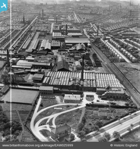
EAW025999 ENGLAND (1949). Emerson Mill and environs, Preston, 1949. This image has been produced from a print marked by Aerofilms Ltd for photo editing.
© Copyright OpenStreetMap contributors and licensed by the OpenStreetMap Foundation. 2024. Cartography is licensed as CC BY-SA.
Nearby Images (29)
EAW025999

EPW038861

EPW056722

EPW056725

EPW026294

EPW026399

EAW025994

EPW056723

EPW056721

EPW056724

EPW056720

EAW025995

EPW026291

EPW026295

EPW026292

EAW025997

EAW025998

EPW038860

EPW026296

EPW026293

EAW025993

EAW025996

EPW038859

EPW038858

EPW038866

EPW038862

EPW038863

EPW038864

EPW038865

Details
| Title | [EAW025999] Emerson Mill and environs, Preston, 1949. This image has been produced from a print marked by Aerofilms Ltd for photo editing. |
| Reference | EAW025999 |
| Date | 13-August-1949 |
| Link | |
| Place name | PRESTON |
| Parish | |
| District | |
| Country | ENGLAND |
| Easting / Northing | 355439, 430676 |
| Longitude / Latitude | -2.6761598854002, 53.770299882845 |
| National Grid Reference | SD554307 |
Pins
 Sparky |
Sunday 10th of September 2017 08:13:42 AM |


