
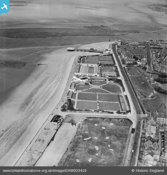
EAW023416 ENGLAND (1949). Marine Gardens and the pier, Fleetwood, from the south-west, 1949
© Copyright OpenStreetMap contributors and licensed by the OpenStreetMap Foundation. 2024. Cartography is licensed as CC BY-SA.
Nearby Images (6)
EAW023416

EAW026238

EPW003043

EPW003045

EPW003046

EPW014343

Details
| Title | [EAW023416] Marine Gardens and the pier, Fleetwood, from the south-west, 1949 |
| Reference | EAW023416 |
| Date | 25-May-1949 |
| Link | |
| Place name | FLEETWOOD |
| Parish | FLEETWOOD |
| District | |
| Country | ENGLAND |
| Easting / Northing | 333157, 448263 |
| Longitude / Latitude | -3.0180421589, 53.925980257395 |
| National Grid Reference | SD332483 |
Pins
 redmist |
Thursday 7th of April 2022 10:52:44 PM | |
 Ubik360 |
Sunday 16th of May 2021 09:18:20 AM | |
John W |
Friday 22nd of May 2020 09:36:25 AM | |
wadey |
Tuesday 7th of October 2014 01:06:50 PM | |
wadey |
Tuesday 7th of October 2014 01:06:25 PM |