
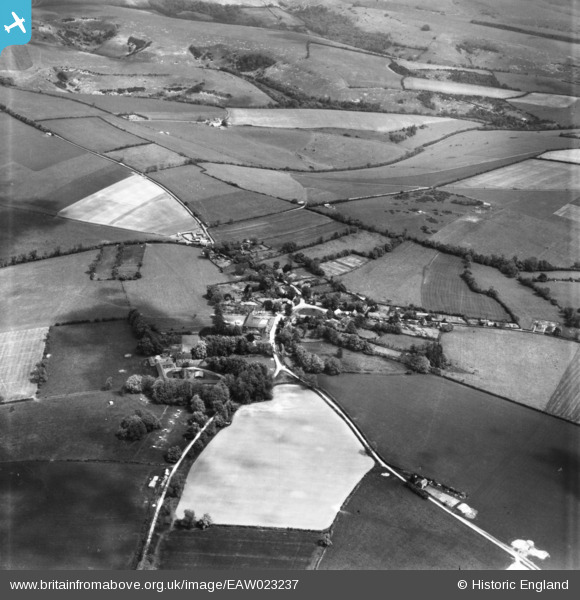
EAW023237 ENGLAND (1949). The village, Ashmore, 1949. This image has been produced from a print.
© Copyright OpenStreetMap contributors and licensed by the OpenStreetMap Foundation. 2024. Cartography is licensed as CC BY-SA.
Nearby Images (5)
EAW023237

EAW023236

EAW023239

EAW023240

EAW023238

Details
| Title | [EAW023237] The village, Ashmore, 1949. This image has been produced from a print. |
| Reference | EAW023237 |
| Date | 19-May-1949 |
| Link | |
| Place name | ASHMORE |
| Parish | ASHMORE |
| District | |
| Country | ENGLAND |
| Easting / Northing | 391327, 117886 |
| Longitude / Latitude | -2.1235056826743, 50.959788184195 |
| National Grid Reference | ST913179 |
Pins
Be the first to add a comment to this image!
User Comment Contributions
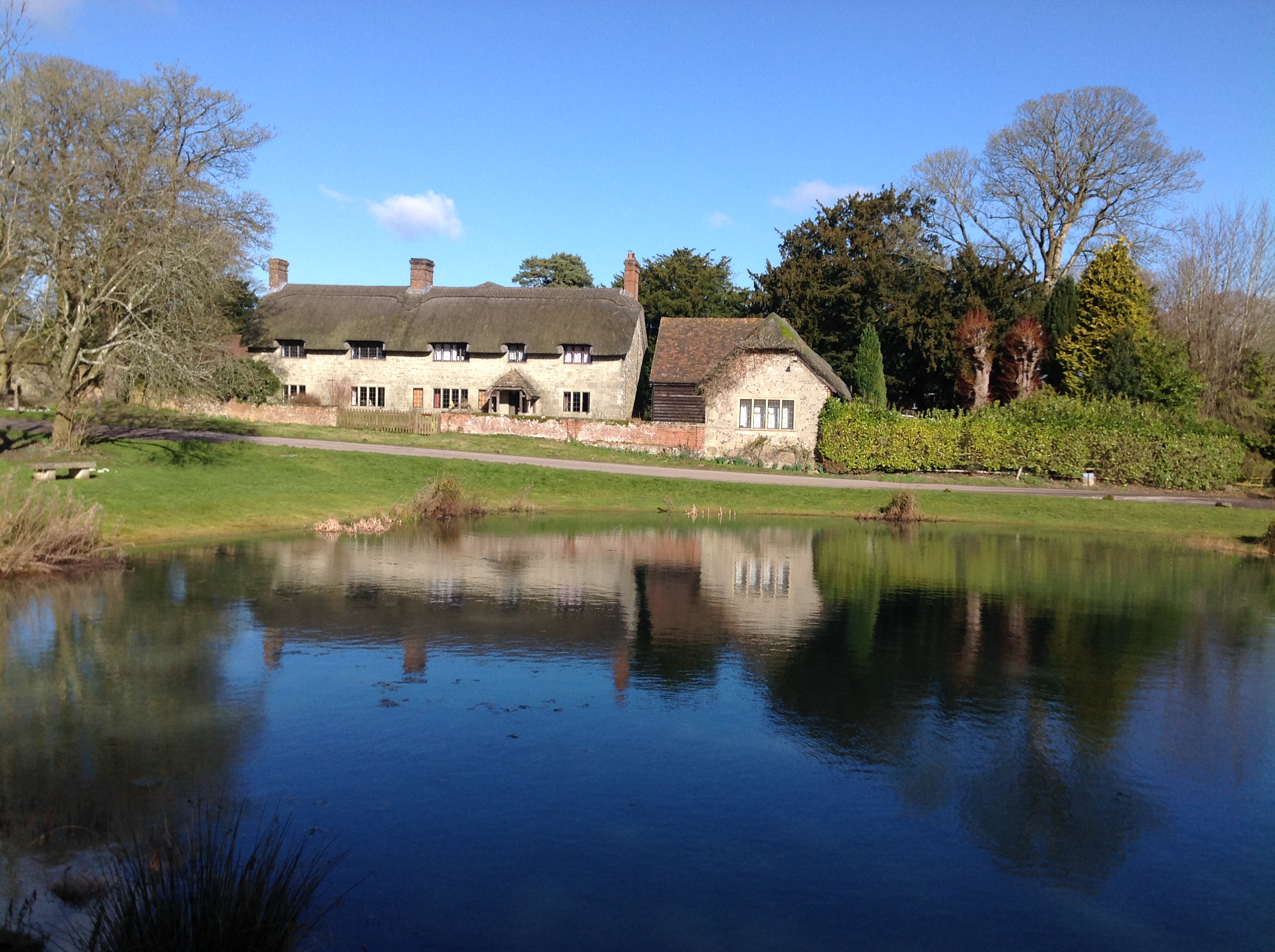 Ashmore Pond, 21/02/2015 |
 Class31 |
Saturday 21st of February 2015 10:15:01 PM |