
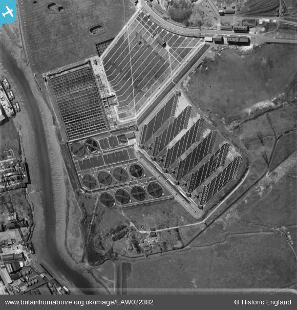
EAW022382 ENGLAND (1949). Beckton Sewage Works, Gallions Reach, 1949
© Copyright OpenStreetMap contributors and licensed by the OpenStreetMap Foundation. 2024. Cartography is licensed as CC BY-SA.
Nearby Images (13)
EAW022382

EPW037873

EPW037878

EPW037874

EPW037876

EPW037875

EPW037508

EPW037877

EPW037879

EAW022381

EPW037510

EPW037513

EPW036777

Details
| Title | [EAW022382] Beckton Sewage Works, Gallions Reach, 1949 |
| Reference | EAW022382 |
| Date | 19-April-1949 |
| Link | |
| Place name | GALLIONS REACH |
| Parish | |
| District | |
| Country | ENGLAND |
| Easting / Northing | 545193, 182018 |
| Longitude / Latitude | 0.092860194747413, 51.517915524177 |
| National Grid Reference | TQ452820 |
Pins
 Matt Aldred edob.mattaldred.com |
Saturday 15th of May 2021 06:18:49 PM | |
 SimonB |
Friday 20th of December 2013 02:56:32 PM |
User Comment Contributions
Needs rotating 90' CW |
SimonB |
Friday 20th of December 2013 02:55:27 PM |


