
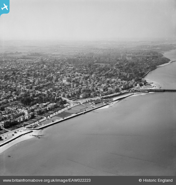
EAW022223 ENGLAND (1949). Eastern Gardens and the town, Ryde, from the north-east, 1949
© Copyright OpenStreetMap contributors and licensed by the OpenStreetMap Foundation. 2024. Cartography is licensed as CC BY-SA.
Nearby Images (5)
EAW022223

EAW022222

EPW016901

EPW039643

EPW023013

Details
| Title | [EAW022223] Eastern Gardens and the town, Ryde, from the north-east, 1949 |
| Reference | EAW022223 |
| Date | 17-April-1949 |
| Link | |
| Place name | RYDE |
| Parish | RYDE |
| District | |
| Country | ENGLAND |
| Easting / Northing | 459887, 92842 |
| Longitude / Latitude | -1.1513393701943, 50.731531696204 |
| National Grid Reference | SZ599928 |
Pins
Be the first to add a comment to this image!