
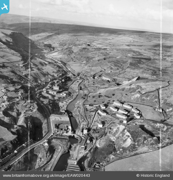
EAW020443 ENGLAND (1948). The Roch Valley, Calderbrook, from the south, 1948. This image was marked by Aerofilms Ltd for photo editing.
© Copyright OpenStreetMap contributors and licensed by the OpenStreetMap Foundation. 2024. Cartography is licensed as CC BY-SA.
Nearby Images (11)
EAW020443

EAW020436

EAW020440

EAW020442

EAW020438

EAW020441

EAW020437

EAW020439

EAW020432

EAW020429

EAW020430

Details
| Title | [EAW020443] The Roch Valley, Calderbrook, from the south, 1948. This image was marked by Aerofilms Ltd for photo editing. |
| Reference | EAW020443 |
| Date | 8-November-1948 |
| Link | |
| Place name | CALDERBROOK |
| Parish | |
| District | |
| Country | ENGLAND |
| Easting / Northing | 394685, 418166 |
| Longitude / Latitude | -2.0804369909471, 53.659725380823 |
| National Grid Reference | SD947182 |
