
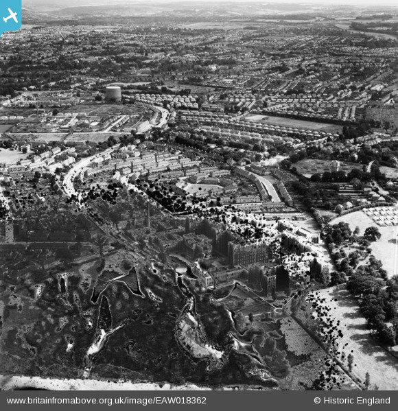
EAW018362 ENGLAND (1948). St Helier Hospital and environs, St Helier, from the north-west, 1948. This image has been produced from a damaged negative.
© Copyright OpenStreetMap contributors and licensed by the OpenStreetMap Foundation. 2024. Cartography is licensed as CC BY-SA.
Nearby Images (15)
EAW018362

EPW062012

EPW062017

EPW062018

EPW062015

EPW062014

EAW018360

EPW062013

EAW018361

EPW062016

EAW018357

EAW018359

EAW018363

EAW018364

EAW018358

Details
| Title | [EAW018362] St Helier Hospital and environs, St Helier, from the north-west, 1948. This image has been produced from a damaged negative. |
| Reference | EAW018362 |
| Date | 27-August-1948 |
| Link | |
| Place name | ST HELIER |
| Parish | |
| District | |
| Country | ENGLAND |
| Easting / Northing | 526488, 166117 |
| Longitude / Latitude | -0.1822883067313, 51.379495951462 |
| National Grid Reference | TQ265661 |
Pins
Be the first to add a comment to this image!


