
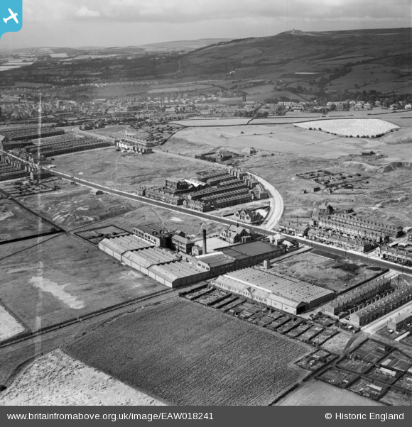
EAW018241 ENGLAND (1948). Mills and houses along Chorley New Road, Horwich, from the south, 1948. This image was marked by Aerofilms Ltd for photo editing.
© Copyright OpenStreetMap contributors and licensed by the OpenStreetMap Foundation. 2024. Cartography is licensed as CC BY-SA.
Nearby Images (9)
EAW018241

EAW018242

EAW018246

EAW018248

EAW018249

EAW018245

EAW018247

EAW018244

EAW018243

Details
| Title | [EAW018241] Mills and houses along Chorley New Road, Horwich, from the south, 1948. This image was marked by Aerofilms Ltd for photo editing. |
| Reference | EAW018241 |
| Date | 18-August-1948 |
| Link | |
| Place name | HORWICH |
| Parish | HORWICH |
| District | |
| Country | ENGLAND |
| Easting / Northing | 364615, 410377 |
| Longitude / Latitude | -2.5346170242905, 53.588540634572 |
| National Grid Reference | SD646104 |
Pins
 FrankH |
Thursday 21st of October 2021 07:59:08 PM |