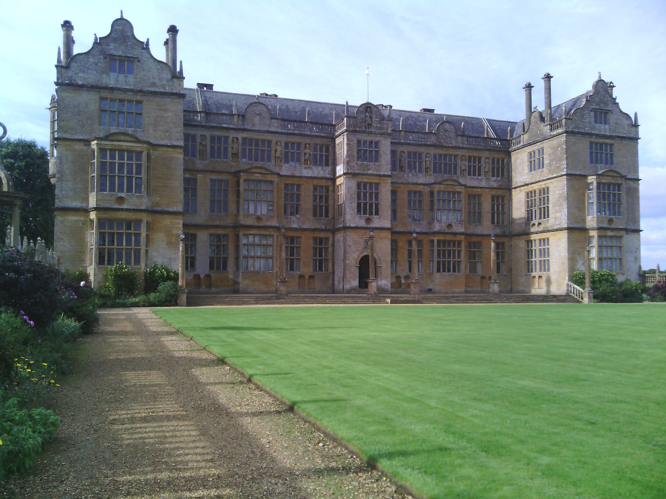
EAW015045 ENGLAND (1948). Montacute House and environs, Montacute, 1948
© Copyright OpenStreetMap contributors and licensed by the OpenStreetMap Foundation. 2024. Cartography is licensed as CC BY-SA.
Nearby Images (13)
Details
| Title | [EAW015045] Montacute House and environs, Montacute, 1948 |
| Reference | EAW015045 |
| Date | 27-April-1948 |
| Link | |
| Place name | MONTACUTE |
| Parish | MONTACUTE |
| District | |
| Country | ENGLAND |
| Easting / Northing | 349859, 117235 |
| Longitude / Latitude | -2.7139018788853, 50.951817002131 |
| National Grid Reference | ST499172 |
Pins
Be the first to add a comment to this image!


![[EAW015045] Montacute House and environs, Montacute, 1948](http://britainfromabove.org.uk/sites/all/libraries/aerofilms-images/public/100x100/EAW/015/EAW015045.jpg)
![[EPW033432] Montacute House and Park, Montacute, 1930](http://britainfromabove.org.uk/sites/all/libraries/aerofilms-images/public/100x100/EPW/033/EPW033432.jpg)
![[EPW033429] Montacute House, Montacute, 1930](http://britainfromabove.org.uk/sites/all/libraries/aerofilms-images/public/100x100/EPW/033/EPW033429.jpg)
![[EPW033428] Montacute House and Park, Montacute, 1930](http://britainfromabove.org.uk/sites/all/libraries/aerofilms-images/public/100x100/EPW/033/EPW033428.jpg)
![[EPW033430] The village, Montacute House and surrounding countryside, Montacute, 1930](http://britainfromabove.org.uk/sites/all/libraries/aerofilms-images/public/100x100/EPW/033/EPW033430.jpg)
![[EAW015046] Montacute House and environs, Montacute, from the east, 1948](http://britainfromabove.org.uk/sites/all/libraries/aerofilms-images/public/100x100/EAW/015/EAW015046.jpg)
![[EPW033431] Montacute House and surroundings, Montacute, 1930](http://britainfromabove.org.uk/sites/all/libraries/aerofilms-images/public/100x100/EPW/033/EPW033431.jpg)
![[EAW015047] Montacute House, Montacute, 1948](http://britainfromabove.org.uk/sites/all/libraries/aerofilms-images/public/100x100/EAW/015/EAW015047.jpg)
![[EPW033433] Montacute House and the village, Montacute, 1930](http://britainfromabove.org.uk/sites/all/libraries/aerofilms-images/public/100x100/EPW/033/EPW033433.jpg)
![[EPW024013] Montacute House, Montacute, 1928](http://britainfromabove.org.uk/sites/all/libraries/aerofilms-images/public/100x100/EPW/024/EPW024013.jpg)
![[EAW015044] Montacute House, village and St Michael's Hill, Montacute, from the north-east, 1948](http://britainfromabove.org.uk/sites/all/libraries/aerofilms-images/public/100x100/EAW/015/EAW015044.jpg)
![[EPW024012] Montacute House, Montacute, 1928](http://britainfromabove.org.uk/sites/all/libraries/aerofilms-images/public/100x100/EPW/024/EPW024012.jpg)
![[EAW015043] Montacute House, Montacute, 1948](http://britainfromabove.org.uk/sites/all/libraries/aerofilms-images/public/100x100/EAW/015/EAW015043.jpg)


