
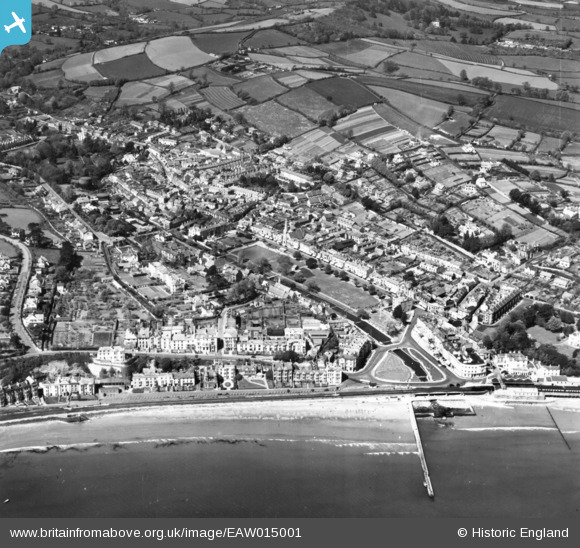
EAW015001 ENGLAND (1948). The town, Dawlish, 1948. This image has been produced from a print.
© Copyright OpenStreetMap contributors and licensed by the OpenStreetMap Foundation. 2024. Cartography is licensed as CC BY-SA.
Nearby Images (14)
EAW015001

EAW007657

EPW023661

EPW033470

EPW023662

EPW023672

EPW033469

EPW023671

EPW033472

EPW039684

EPW033471

EPW023670

EPW023664

EPW039683

Details
| Title | [EAW015001] The town, Dawlish, 1948. This image has been produced from a print. |
| Reference | EAW015001 |
| Date | 27-April-1948 |
| Link | |
| Place name | DAWLISH |
| Parish | DAWLISH |
| District | |
| Country | ENGLAND |
| Easting / Northing | 296064, 76738 |
| Longitude / Latitude | -3.4681859500753, 50.580530555073 |
| National Grid Reference | SX961767 |
Pins
 Matt Aldred edob.mattaldred.com |
Thursday 7th of March 2024 10:37:31 AM |