
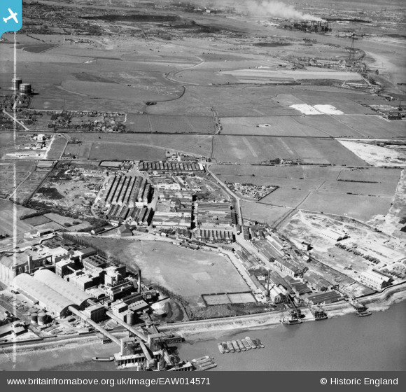
EAW014571 ENGLAND (1948). British Insulated Cables Ltd Works, Erith, 1948. This image was marked by Aerofilms Ltd for photo editing.
© Copyright OpenStreetMap contributors and licensed by the OpenStreetMap Foundation. 2024. Cartography is licensed as CC BY-SA.
Nearby Images (43)
EAW014571

EPW037908

EAW048350

EAW048359

EPW060653

EAW048351

EPW037311

EPW037305

EPW062292

EPW060656

EPW060652

EPW060654

EAW048345

EPW037304

EPW060661

EAW048349

EPW060657

EPW060715

EAW048347

EPW060712

EPW060716

EPW060718

EPW060714

EAW014574

EPW060658

EAW048346

EPW060713

EAW014569

EPW060663

EPW037306

EAW048358

EAW014567

EPW060772

EPW060662

EPW060664

EPW060665

EPW060717

EPW060659

EAW048348

EAW014572

EAW048355

EAW048356

EAW048352

Details
| Title | [EAW014571] British Insulated Cables Ltd Works, Erith, 1948. This image was marked by Aerofilms Ltd for photo editing. |
| Reference | EAW014571 |
| Date | 16-April-1948 |
| Link | |
| Place name | ERITH |
| Parish | |
| District | |
| Country | ENGLAND |
| Easting / Northing | 550296, 179705 |
| Longitude / Latitude | 0.16537505027167, 51.495795904884 |
| National Grid Reference | TQ503797 |
Pins
Be the first to add a comment to this image!


