
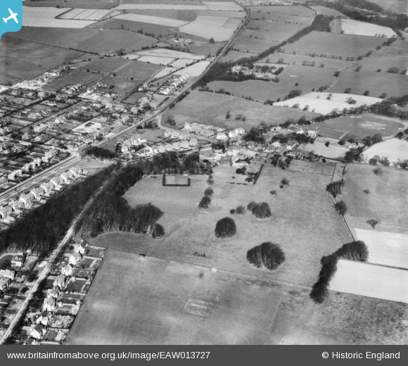
EAW013727 ENGLAND (1948). Sadler Hall (University Hall of Residence) and the surrounding area, Adel, 1948
© Copyright OpenStreetMap contributors and licensed by the OpenStreetMap Foundation. 2024. Cartography is licensed as CC BY-SA.
Nearby Images (5)
EAW013727
 and the surrounding area, Adel, 1948")
EAW013728
 and the surrounding area, Adel, 1948")
EAW013726
, Church Lane and the surrounding area, Adel, 1948")
EAW013725
 and the surrounding area, Adel, 1948")
EAW013724
 and the surrounding area, Adel, 1948")
Details
| Title | [EAW013727] Sadler Hall (University Hall of Residence) and the surrounding area, Adel, 1948 |
| Reference | EAW013727 |
| Date | 11-March-1948 |
| Link | |
| Place name | ADEL |
| Parish | |
| District | |
| Country | ENGLAND |
| Easting / Northing | 427159, 439809 |
| Longitude / Latitude | -1.5870786408301, 53.853592561368 |
| National Grid Reference | SE272398 |
Pins
Be the first to add a comment to this image!