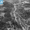
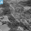
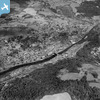
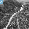
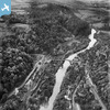
EAW012586 ENGLAND (1948). The River Severn in flood, Ironbridge, from the north, 1948
© Copyright OpenStreetMap contributors and licensed by the OpenStreetMap Foundation. 2025. Cartography is licensed as CC BY-SA.
Nearby Images (14)
Details
| Title | [EAW012586] The River Severn in flood, Ironbridge, from the north, 1948 |
| Reference | EAW012586 |
| Date | 14-January-1948 |
| Link | |
| Place name | IRONBRIDGE |
| Parish | THE GORGE |
| District | |
| Country | ENGLAND |
| Easting / Northing | 367339, 303415 |
| Longitude / Latitude | -2.4825774345977, 52.627158121492 |
| National Grid Reference | SJ673034 |
Pins
 severnsider |
Thursday 23rd of July 2015 04:54:06 PM | |
 severnsider |
Thursday 23rd of July 2015 04:53:27 PM | |
 severnsider |
Thursday 23rd of July 2015 04:52:54 PM | |
 severnsider |
Thursday 23rd of July 2015 04:52:33 PM | |
 severnsider |
Thursday 23rd of July 2015 04:52:09 PM |


