
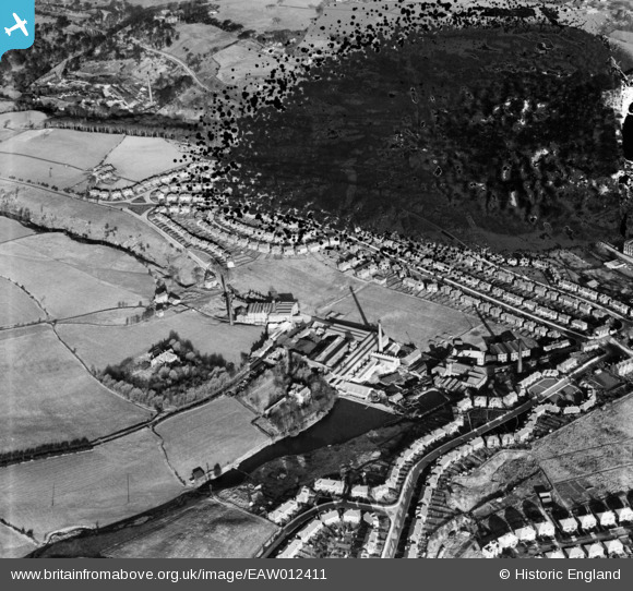
EAW012411 ENGLAND (1947). The Samuel Heap and Son Fulling Mills, Rochdale, 1947. This image has been produced from a damaged negative.
© Copyright OpenStreetMap contributors and licensed by the OpenStreetMap Foundation. 2024. Cartography is licensed as CC BY-SA.
Nearby Images (11)
EAW012411

EAW012417

EAW012420

EAW012415

EAW012412

EAW012413

EPW016794

EPW016793

EAW012418

EAW012414

EAW012416

Details
| Title | [EAW012411] The Samuel Heap and Son Fulling Mills, Rochdale, 1947. This image has been produced from a damaged negative. |
| Reference | EAW012411 |
| Date | 26-November-1947 |
| Link | |
| Place name | ROCHDALE |
| Parish | |
| District | |
| Country | ENGLAND |
| Easting / Northing | 387883, 414698 |
| Longitude / Latitude | -2.183242579826, 53.628437449622 |
| National Grid Reference | SD879147 |
Pins
Be the first to add a comment to this image!