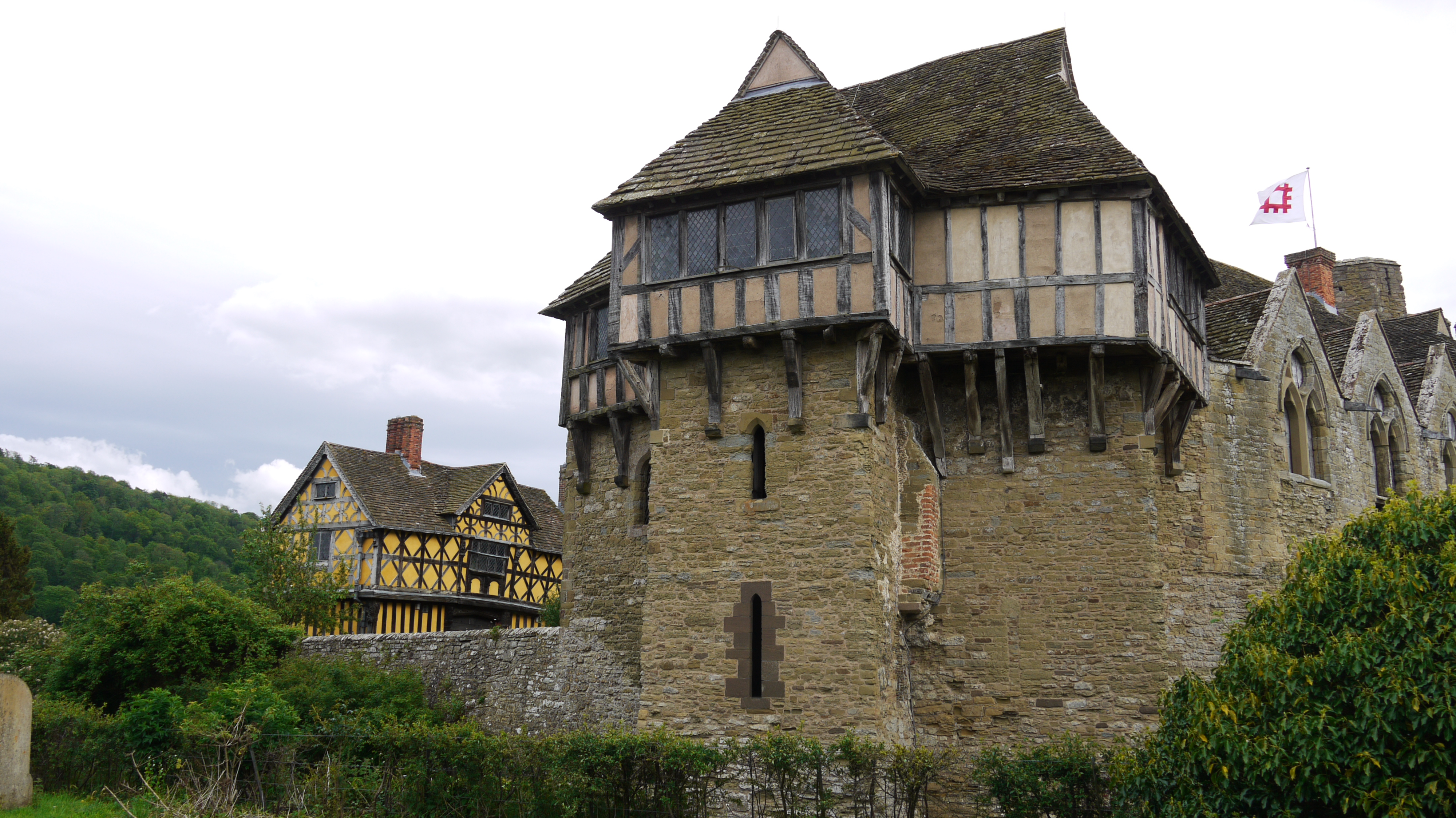
EAW010343 ENGLAND (1947). Stokesay Castle and the Church of St John the Baptist, Stokesay, 1947

© Copyright OpenStreetMap contributors and licensed by the OpenStreetMap Foundation. 2024. Cartography is licensed as CC BY-SA.
Nearby Images (9)
EAW010343

EAW010346

EAW017515

EAW010345

EAW017516

EAW017517

EAW010344

EAW017519

EAW017518

Details
| Title | [EAW010343] Stokesay Castle and the Church of St John the Baptist, Stokesay, 1947 |
| Reference | EAW010343 |
| Date | 28-August-1947 |
| Link | |
| Place name | STOKESAY |
| Parish | CRAVEN ARMS |
| District | |
| Country | ENGLAND |
| Easting / Northing | 343567, 281683 |
| Longitude / Latitude | -2.8300931587015, 52.429836642624 |
| National Grid Reference | SO436817 |
Pins
Be the first to add a comment to this image!