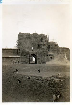
EAW010275 ENGLAND (1947). The entrance to the River Tyne and environs, Tynemouth, from the south-west, 1947
© Copyright OpenStreetMap contributors and licensed by the OpenStreetMap Foundation. 2024. Cartography is licensed as CC BY-SA.
Details
| Title | [EAW010275] The entrance to the River Tyne and environs, Tynemouth, from the south-west, 1947 |
| Reference | EAW010275 |
| Date | 24-August-1947 |
| Link | |
| Place name | TYNEMOUTH |
| Parish | |
| District | |
| Country | ENGLAND |
| Easting / Northing | 436099, 568280 |
| Longitude / Latitude | -1.4355098601136, 55.007699367276 |
| National Grid Reference | NZ361683 |
Pins
 redmist |
Sunday 28th of January 2024 10:39:20 AM | |
 redmist |
Sunday 28th of January 2024 10:38:30 AM | |
 forostar |
Friday 4th of February 2022 10:14:01 AM | |
 forostar |
Friday 4th of February 2022 10:11:55 AM | |
 forostar |
Friday 4th of February 2022 10:11:31 AM | |
 Blifster |
Wednesday 13th of May 2020 01:39:59 PM | |
 redmist |
Thursday 1st of August 2019 09:24:35 PM | |
 redmist |
Thursday 1st of August 2019 09:17:23 PM | |
 Class31 |
Thursday 18th of December 2014 06:53:29 PM |


![[EAW010275] The entrance to the River Tyne and environs, Tynemouth, from the south-west, 1947](http://britainfromabove.org.uk/sites/all/libraries/aerofilms-images/public/100x100/EAW/010/EAW010275.jpg)
![[EPW019793] Dockwray Square and the waterfront, North Shields, 1927](http://britainfromabove.org.uk/sites/all/libraries/aerofilms-images/public/100x100/EPW/019/EPW019793.jpg)
![[EAW259632] North Shields and environs, Tynemouth, 1973](http://britainfromabove.org.uk/sites/all/libraries/aerofilms-images/public/100x100/EAW/259/EAW259632.jpg)


