
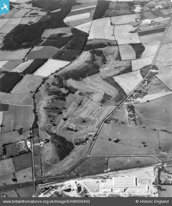
EAW009493 ENGLAND (1947). Rushcliffe Golf Course, Gotham, 1947. This image has been produced from a print.
© Copyright OpenStreetMap contributors and licensed by the OpenStreetMap Foundation. 2024. Cartography is licensed as CC BY-SA.
Nearby Images (5)
EAW009493

EAW009492

EAW009487

EAW009491

EAW009488

Details
| Title | [EAW009493] Rushcliffe Golf Course, Gotham, 1947. This image has been produced from a print. |
| Reference | EAW009493 |
| Date | 19-August-1947 |
| Link | |
| Place name | GOTHAM |
| Parish | GOTHAM |
| District | |
| Country | ENGLAND |
| Easting / Northing | 454591, 328181 |
| Longitude / Latitude | -1.1893069222701, 52.848034848106 |
| National Grid Reference | SK546282 |
Pins
 John Wass |
Saturday 12th of December 2015 07:35:22 PM |