
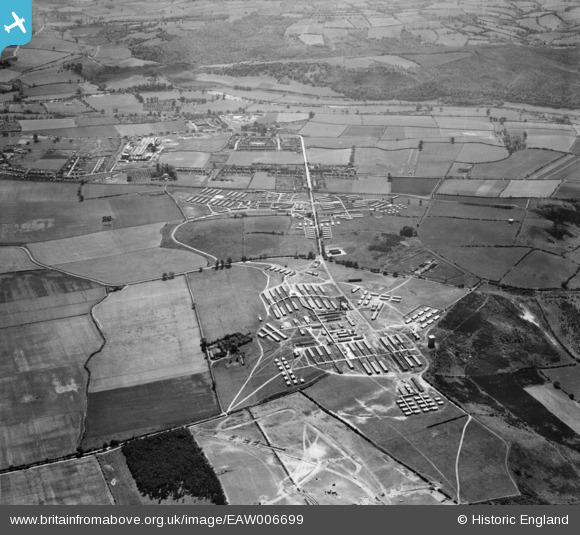
EAW006699 ENGLAND (1947). Camp Bewdley (Burlish Camp), Stourport-on-Severn, 1947
© Copyright OpenStreetMap contributors and licensed by the OpenStreetMap Foundation. 2024. Cartography is licensed as CC BY-SA.
Nearby Images (5)
EAW006699
, Stourport-on-Severn, 1947")
EAW006697
, Stourport-on-Severn, 1947")
EAW006700
, Stourport-on-Severn, 1947")
EAW006701
 and the outskirts of Kidderminster, Stourport-on-Severn, 1947")
EAW006702
 and environs, Stourport-on-Severn, 1947")
Details
| Title | [EAW006699] Camp Bewdley (Burlish Camp), Stourport-on-Severn, 1947 |
| Reference | EAW006699 |
| Date | 28-May-1947 |
| Link | |
| Place name | STOURPORT-ON-SEVERN |
| Parish | STOURPORT-ON-SEVERN |
| District | |
| Country | ENGLAND |
| Easting / Northing | 380677, 273397 |
| Longitude / Latitude | -2.2837649668179, 52.357908749712 |
| National Grid Reference | SO807734 |
Pins
 redmist |
Sunday 10th of October 2021 10:40:03 PM |