
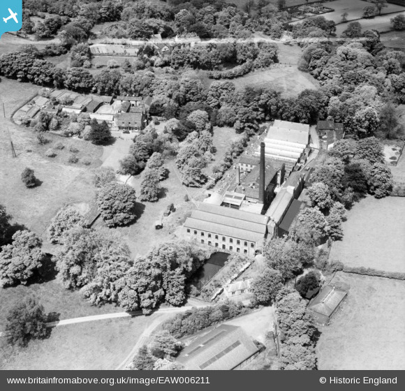
EAW006211 ENGLAND (1947). Hopton Woollen Mills, Lower Hopton, 1947. This image was marked by Aerofilms Ltd for photo editing.
© Copyright OpenStreetMap contributors and licensed by the OpenStreetMap Foundation. 2024. Cartography is licensed as CC BY-SA.
Nearby Images (11)
EAW006211

EAW004530

EAW006210

EAW006209

EAW006212

EAW006214

EAW004531

EAW004528

EAW004527

EAW004532

EAW006213

Details
| Title | [EAW006211] Hopton Woollen Mills, Lower Hopton, 1947. This image was marked by Aerofilms Ltd for photo editing. |
| Reference | EAW006211 |
| Date | 25-May-1947 |
| Link | |
| Place name | LOWER HOPTON |
| Parish | MIRFIELD |
| District | |
| Country | ENGLAND |
| Easting / Northing | 421143, 418622 |
| Longitude / Latitude | -1.6799942322545, 53.663423927739 |
| National Grid Reference | SE211186 |
Pins
Be the first to add a comment to this image!