
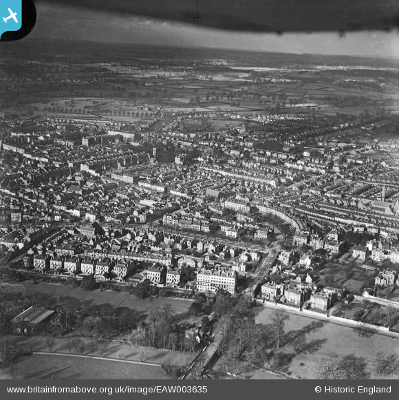
EAW003635 ENGLAND (1947). The town centre, Royal Leamington Spa, from the south-east, 1947
© Copyright OpenStreetMap contributors and licensed by the OpenStreetMap Foundation. 2024. Cartography is licensed as CC BY-SA.
Nearby Images (2)
EAW003635

EPW053226

Details
| Title | [EAW003635] The town centre, Royal Leamington Spa, from the south-east, 1947 |
| Reference | EAW003635 |
| Date | March-1947 |
| Link | |
| Place name | ROYAL LEAMINGTON SPA |
| Parish | ROYAL LEAMINGTON SPA |
| District | |
| Country | ENGLAND |
| Easting / Northing | 432278, 265847 |
| Longitude / Latitude | -1.5267168662534, 52.289417237991 |
| National Grid Reference | SP323658 |
Pins
 Matt Aldred edob.mattaldred.com |
Friday 20th of May 2022 12:38:23 PM |


