
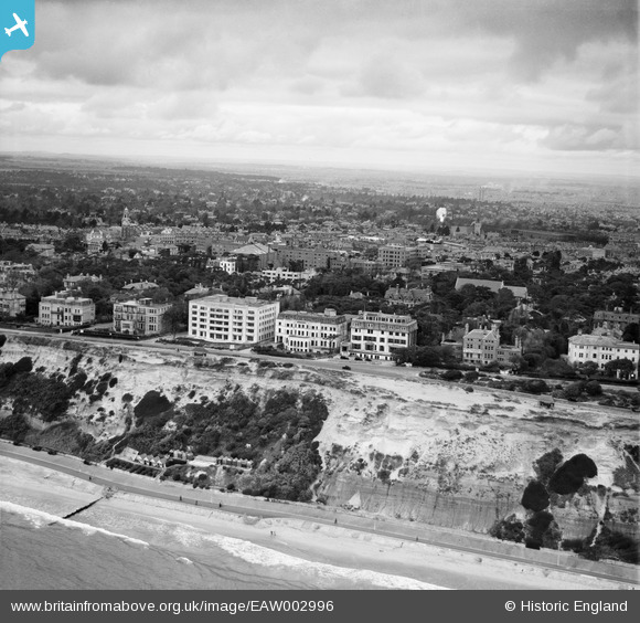
EAW002996 ENGLAND (1946). East Overcliff Drive and the town, Bournemouth, from the south, 1946
© Copyright OpenStreetMap contributors and licensed by the OpenStreetMap Foundation. 2024. Cartography is licensed as CC BY-SA.
Nearby Images (12)
EAW002996

EAW035605

EPW061511

EPW018153

EAW018155

EAW048933

EAW048935

EAW048932

EPW013556

EAW048934

EPW000279

EAW048931

Details
| Title | [EAW002996] East Overcliff Drive and the town, Bournemouth, from the south, 1946 |
| Reference | EAW002996 |
| Date | 3-October-1946 |
| Link | |
| Place name | BOURNEMOUTH |
| Parish | |
| District | |
| Country | ENGLAND |
| Easting / Northing | 409995, 91023 |
| Longitude / Latitude | -1.8584017886195, 50.71817443265 |
| National Grid Reference | SZ100910 |
Pins
Be the first to add a comment to this image!


