
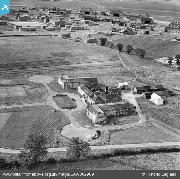
EAW002909 ENGLAND (1946). RAF Horsham St Faith, Norwich, 1946
© Copyright OpenStreetMap contributors and licensed by the OpenStreetMap Foundation. 2024. Cartography is licensed as CC BY-SA.
Nearby Images (8)
EAW002909

EAW001957

EAW001956

EAW002905

EAW001962

EAW002908

EAW002912

EAW002907

Details
| Title | [EAW002909] RAF Horsham St Faith, Norwich, 1946 |
| Reference | EAW002909 |
| Date | 1-October-1946 |
| Link | |
| Place name | NORWICH |
| Parish | |
| District | |
| Country | ENGLAND |
| Easting / Northing | 622651, 312541 |
| Longitude / Latitude | 1.2930109248696, 52.664430113861 |
| National Grid Reference | TG227125 |
Pins
 redmist |
Thursday 11th of March 2021 08:36:21 PM | |
 Matt Aldred edob.mattaldred.com |
Tuesday 24th of November 2020 10:19:53 PM | |
Matt Aldred edob.mattaldred.com |
Tuesday 24th of November 2020 10:19:14 PM | |
Matt Aldred edob.mattaldred.com |
Tuesday 24th of November 2020 10:18:55 PM | |
Sparky |
Saturday 16th of September 2017 09:05:15 AM |


