
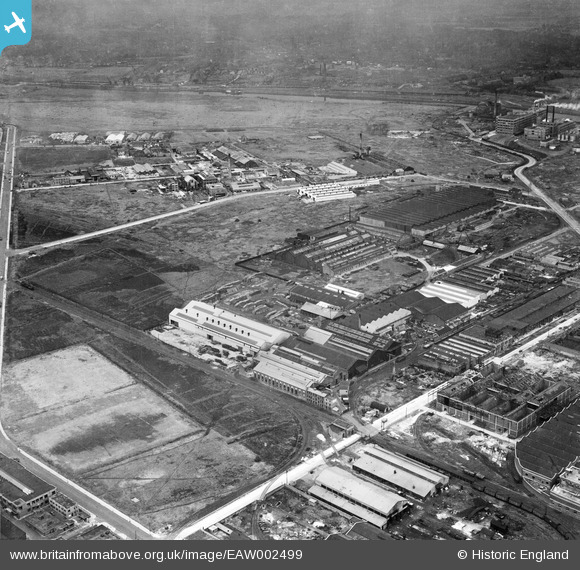
EAW002499 ENGLAND (1946). The Superheater Company Engineering Works and environs, Trafford Park, 1946
© Copyright OpenStreetMap contributors and licensed by the OpenStreetMap Foundation. 2024. Cartography is licensed as CC BY-SA.
Nearby Images (48)
EAW002499

EAW036242

EAW036239

EAW036240

EAW036241

EAW036238

EAW036243

EAW050194

EAW036244

EAW036245

EAW002501

EPW009619

EPW009627

EAW050189

EAW050187

EAW050195

EAW050188

EAW002500

EAW050192

EAW002502

EPW009613

EPW027478

EAW002497

EPW027462

EPW009616

EAW002505

EPW009612

EAW050190

EAW002504

EAW050191

EPW009620

EAW002498

EAW021922

EAW050193

EPW009614

EAW002503

EPW009610

EPW053320

EPW053319

EPW053323

EPW053318

EPW053322

EPW053317

EPW053321

EPW009624

EPW009625

EPW009622

EPW009668

Details
| Title | [EAW002499] The Superheater Company Engineering Works and environs, Trafford Park, 1946 |
| Reference | EAW002499 |
| Date | 7-September-1946 |
| Link | |
| Place name | TRAFFORD PARK |
| Parish | |
| District | |
| Country | ENGLAND |
| Easting / Northing | 378786, 397197 |
| Longitude / Latitude | -2.319624958243, 53.470827016066 |
| National Grid Reference | SJ788972 |
Pins
 redmist |
Tuesday 24th of January 2023 11:32:33 PM | |
redmist |
Tuesday 24th of January 2023 11:32:11 PM |


