
Scheduled Maintenance
This website will undergo scheduled maintenance on Tuesday, September 10th, between 11:00 and 15:00, as well as on Thursday, September 12th, between 10:00 and 12:00. During this time, services may be temporarily disrupted. We apologise for any inconvenience.
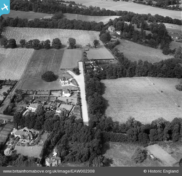
EAW002308 ENGLAND (1946). Kingswood Rise, Englefield Green, 1946
© Copyright OpenStreetMap contributors and licensed by the OpenStreetMap Foundation. 2024. Cartography is licensed as CC BY-SA.
Nearby Images (3)
EAW002308

EAW002309

EAW002303

Details
| Title | [EAW002308] Kingswood Rise, Englefield Green, 1946 |
| Reference | EAW002308 |
| Date | 21-August-1946 |
| Link | |
| Place name | ENGLEFIELD GREEN |
| Parish | |
| District | |
| Country | ENGLAND |
| Easting / Northing | 499740, 171528 |
| Longitude / Latitude | -0.56500506348177, 51.433471360355 |
| National Grid Reference | SU997715 |
Pins
 Ellensdottir |
Sunday 1st of September 2013 07:36:13 PM |