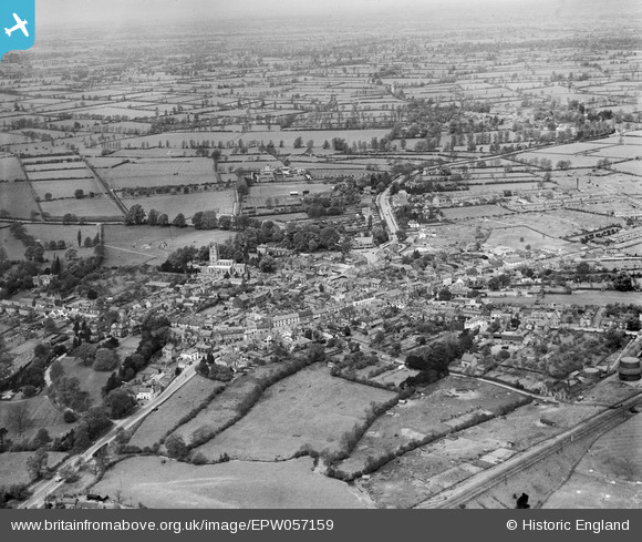
epw057159 ENGLAND (1938). The town, Lutterworth, from the south-east, 1938
© Copyright OpenStreetMap contributors and licensed by the OpenStreetMap Foundation. 2026. Cartography is licensed as CC BY-SA.
Nearby Images (2)
EPW057159

EPW057160

Details
| Title | [EPW057159] The town, Lutterworth, from the south-east, 1938 |
| Reference | EPW057159 |
| Date | 20-May-1938 |
| Link | |
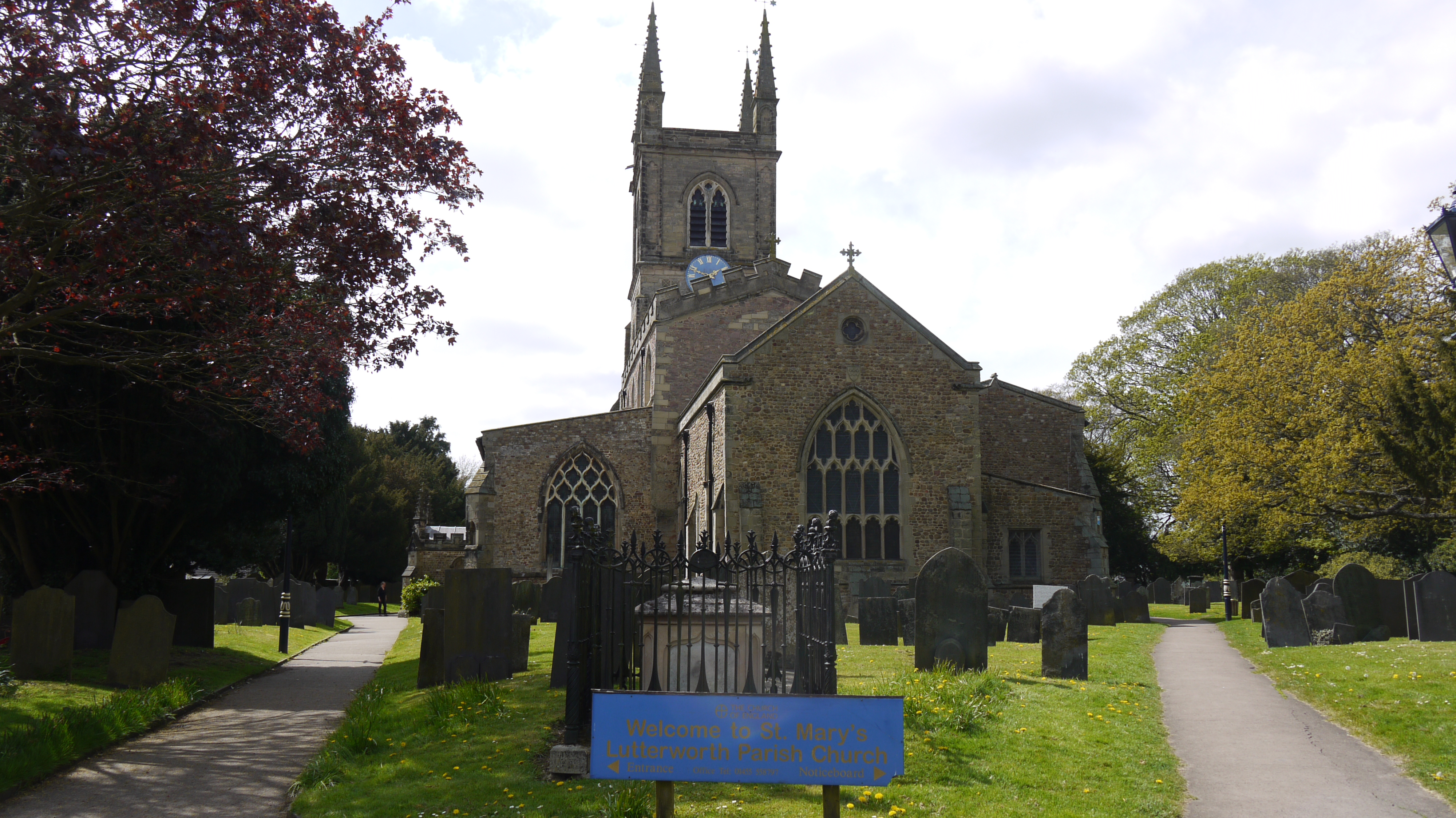
| Place name | LUTTERWORTH |
| Parish | LUTTERWORTH |
| District | |
| Country | ENGLAND |
| Easting / Northing | 454534, 284276 |
| Longitude / Latitude | -1.1974133632308, 52.453340948553 |
| National Grid Reference | SP545843 |
Pins

Class31 |
Tuesday 5th of May 2015 07:17:00 AM | |
|
Class31 |
Tuesday 5th of May 2015 07:11:42 AM | |
 |
Class31 |
Tuesday 5th of May 2015 07:10:53 AM |
|
Class31 |
Tuesday 5th of May 2015 07:10:04 AM | |

Gareth Rees |
Friday 25th of April 2014 02:08:15 PM | |
|
MB |
Monday 24th of June 2013 04:42:31 PM | |
|
MB |
Monday 24th of June 2013 04:40:21 PM | |
|
MB |
Monday 24th of June 2013 04:39:41 PM | |
|
MB |
Monday 24th of June 2013 04:38:55 PM | |
|
MB |
Monday 24th of June 2013 04:36:07 PM | |
|
MB |
Monday 24th of June 2013 04:33:14 PM | |
|
MB |
Monday 24th of June 2013 04:32:53 PM | |
|
MB |
Monday 24th of June 2013 04:32:16 PM | |
Looking at EPW019713 it would appear the road was rebuilt after 1927 |
MB |
Monday 24th of June 2013 04:46:08 PM |
|
MB |
Monday 24th of June 2013 04:30:55 PM | |
|
MB |
Monday 24th of June 2013 04:30:20 PM | |
|
MB |
Monday 24th of June 2013 04:29:59 PM | |
|
MB |
Monday 24th of June 2013 04:28:04 PM | |
|
MB |
Monday 24th of June 2013 04:26:52 PM | |
|
MB |
Monday 24th of June 2013 04:18:01 PM |