
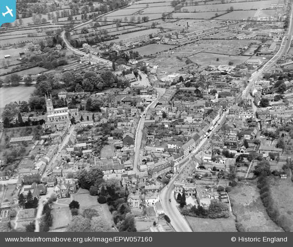
EPW057160 ENGLAND (1938). The town centre, Lutterworth, 1938
© Copyright OpenStreetMap contributors and licensed by the OpenStreetMap Foundation. 2026. Cartography is licensed as CC BY-SA.
Nearby Images (3)
EPW057160

EPW019713

EPW057159

Details
| Title | [EPW057160] The town centre, Lutterworth, 1938 |
| Reference | EPW057160 |
| Date | 20-May-1938 |
| Link | |
| Place name | LUTTERWORTH |
| Parish | LUTTERWORTH |
| District | |
| Country | ENGLAND |
| Easting / Northing | 454362, 284444 |
| Longitude / Latitude | -1.1999170761241, 52.454868444677 |
| National Grid Reference | SP544844 |
Pins

Class31 |
Tuesday 5th of May 2015 07:30:37 AM | |
|
Class31 |
Tuesday 5th of May 2015 07:28:05 AM | |
 |
Class31 |
Tuesday 5th of May 2015 07:27:26 AM |
|
Class31 |
Tuesday 5th of May 2015 07:26:38 AM | |
|
Class31 |
Tuesday 5th of May 2015 07:24:57 AM | |
|
Class31 |
Monday 4th of May 2015 08:26:07 PM | |

bfa |
Saturday 21st of December 2013 10:13:58 PM | |
|
MB |
Monday 24th of June 2013 04:23:58 PM |


User Comment Contributions
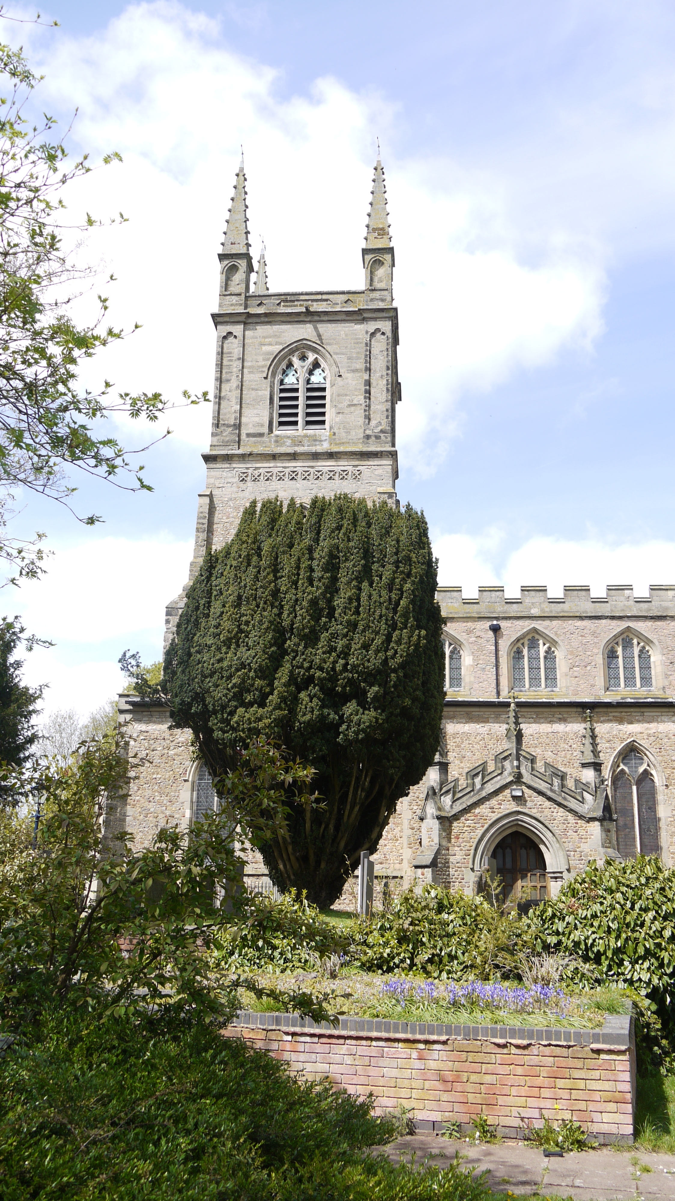
St. Mary's Church, Lutterworth, 04/05/2015 |
Class31 |
Tuesday 5th of May 2015 07:28:44 AM |