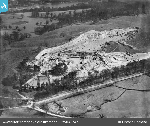
epw046747 ENGLAND (1935). Trentham Gravel Pit, Hanchurch, 1935
© Copyright OpenStreetMap contributors and licensed by the OpenStreetMap Foundation. 2024. Cartography is licensed as CC BY-SA.
Nearby Images (8)
Details
| Title | [EPW046747] Trentham Gravel Pit, Hanchurch, 1935 |
| Reference | EPW046747 |
| Date | March-1935 |
| Link | |
| Place name | HANCHURCH |
| Parish | SWYNNERTON |
| District | |
| Country | ENGLAND |
| Easting / Northing | 385278, 340610 |
| Longitude / Latitude | -2.2192005600538, 52.962341481029 |
| National Grid Reference | SJ853406 |
Pins
 Brittany |
Wednesday 24th of February 2021 07:09:19 PM | |
 bescotbeast |
Tuesday 22nd of October 2013 04:19:47 PM | |
 bescotbeast |
Tuesday 22nd of October 2013 04:17:12 PM |
User Comment Contributions
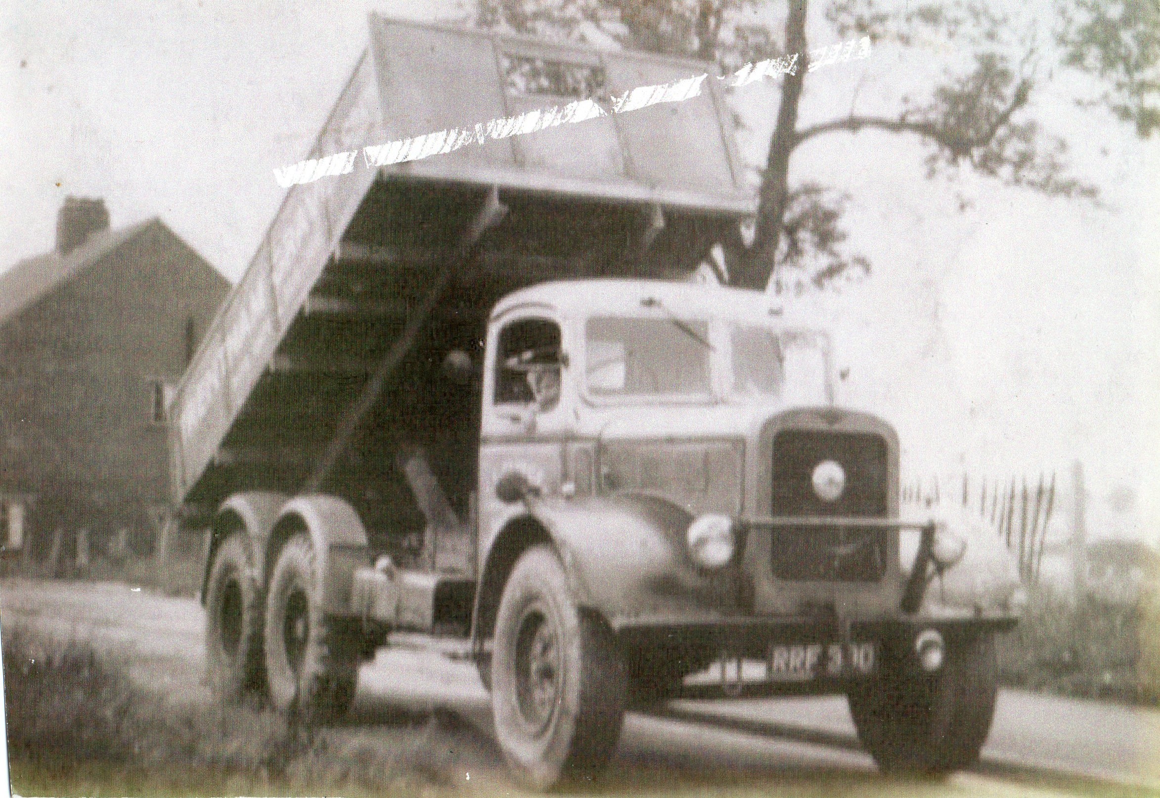
 photo of my dads first truck at hanford quarry |
 alansturge |
Monday 28th of April 2014 09:33:59 PM |


![[EPW046747] Trentham Gravel Pit, Hanchurch, 1935](http://britainfromabove.org.uk/sites/all/libraries/aerofilms-images/public/100x100/EPW/046/EPW046747.jpg)
![[EPW046745] Trentham Gravel Pit, Hanchurch, 1935](http://britainfromabove.org.uk/sites/all/libraries/aerofilms-images/public/100x100/EPW/046/EPW046745.jpg)
![[EPW046751] Trentham Gravel Pit and environs, Hanchurch, 1935](http://britainfromabove.org.uk/sites/all/libraries/aerofilms-images/public/100x100/EPW/046/EPW046751.jpg)
![[EPW046748] Trentham Gravel Pit and environs, Hanchurch, 1935](http://britainfromabove.org.uk/sites/all/libraries/aerofilms-images/public/100x100/EPW/046/EPW046748.jpg)
![[EPW046750] Trentham Gravel Pit and environs, Hanchurch, 1935](http://britainfromabove.org.uk/sites/all/libraries/aerofilms-images/public/100x100/EPW/046/EPW046750.jpg)
![[EPW045283] The Trentham Gravel Co Gravel Pit and Trentham Gardens, Hanchurch, 1934. This image has been affected by flare.](http://britainfromabove.org.uk/sites/all/libraries/aerofilms-images/public/100x100/EPW/045/EPW045283.jpg)
![[EPW046749] Trentham Gravel Pit and environs, Hanchurch, 1935](http://britainfromabove.org.uk/sites/all/libraries/aerofilms-images/public/100x100/EPW/046/EPW046749.jpg)
![[EPW045289] The Trentham Gravel Co Gravel Pit, Kingswood Bank and surrounding countryside, Hanchurch, from the west, 1934](http://britainfromabove.org.uk/sites/all/libraries/aerofilms-images/public/100x100/EPW/045/EPW045289.jpg)