
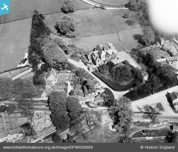
epw026889 ENGLAND (1929). Fosseway House, Stow-on-the-Wold, 1929
© Copyright OpenStreetMap contributors and licensed by the OpenStreetMap Foundation. 2026. Cartography is licensed as CC BY-SA.
Nearby Images (4)
EPW026889

EAW048951

EAW048950

EAW048952

Details
| Title | [EPW026889] Fosseway House, Stow-on-the-Wold, 1929 |
| Reference | EPW026889 |
| Date | May-1929 |
| Link | |
| Place name | STOW-ON-THE-WOLD |
| Parish | STOW-ON-THE-WOLD |
| District | |
| Country | ENGLAND |
| Easting / Northing | 419124, 226051 |
| Longitude / Latitude | -1.7218227179642, 51.932208354054 |
| National Grid Reference | SP191261 |
Pins
Be the first to add a comment to this image!