
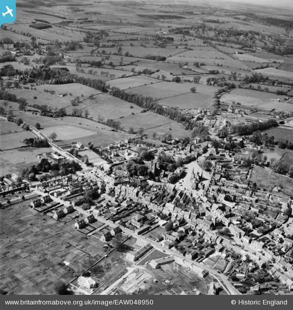
EAW048950 ENGLAND (1953). The Market Square and town centre, Stow-on-the-Wold, 1953
© Copyright OpenStreetMap contributors and licensed by the OpenStreetMap Foundation. 2026. Cartography is licensed as CC BY-SA.
Nearby Images (17)
EAW048950

EPW026887

EPW026891

EAW029315

EAW048949

EPW026893

EAW029316

EAW014919

EPW026894

EPW026892

EAW048951

EPW026890

EAW014920

EPW026889

EAW048952

EAW048953

EAW048948

Details
| Title | [EAW048950] The Market Square and town centre, Stow-on-the-Wold, 1953 |
| Reference | EAW048950 |
| Date | 5-May-1953 |
| Link | |
| Place name | STOW-ON-THE-WOLD |
| Parish | STOW-ON-THE-WOLD |
| District | |
| Country | ENGLAND |
| Easting / Northing | 419007, 225866 |
| Longitude / Latitude | -1.7235347983747, 51.930548890988 |
| National Grid Reference | SP190259 |
Pins
Be the first to add a comment to this image!