
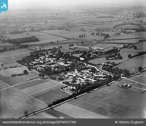
epw015788 ENGLAND (1926). Napsbury Hospital, London Colney, from the east, 1926
© Copyright OpenStreetMap contributors and licensed by the OpenStreetMap Foundation. 2024. Cartography is licensed as CC BY-SA.
Nearby Images (2)
EPW015788

EAW003631

Details
| Title | [EPW015788] Napsbury Hospital, London Colney, from the east, 1926 |
| Reference | EPW015788 |
| Date | 9-June-1926 |
| Link | |
| Place name | LONDON COLNEY |
| Parish | LONDON COLNEY |
| District | |
| Country | ENGLAND |
| Easting / Northing | 517207, 203917 |
| Longitude / Latitude | -0.30299919654521, 51.721254201081 |
| National Grid Reference | TL172039 |
Pins
 John W |
Monday 13th of June 2016 05:17:05 PM | |
John W |
Monday 13th of June 2016 05:15:52 PM | |
John W |
Monday 13th of June 2016 05:14:45 PM | |
John W |
Monday 13th of June 2016 05:14:04 PM | |
John W |
Monday 13th of June 2016 05:12:19 PM | |
John W |
Monday 13th of June 2016 05:11:43 PM | |
John W |
Monday 13th of June 2016 05:11:12 PM |