
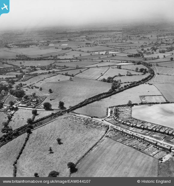
eaw044107 ENGLAND (1952). Coton Park, the Netherseal Colliery Branch Railway and environs, Linton, from the north-east, 1952
© Copyright OpenStreetMap contributors and licensed by the OpenStreetMap Foundation. 2026. Cartography is licensed as CC BY-SA.
Nearby Images (2)
EAW044107

EAW044106

Details
| Title | [EAW044107] Coton Park, the Netherseal Colliery Branch Railway and environs, Linton, from the north-east, 1952 |
| Reference | EAW044107 |
| Date | 10-June-1952 |
| Link | |
| Place name | LINTON |
| Parish | LINTON |
| District | |
| Country | ENGLAND |
| Easting / Northing | 427226, 317508 |
| Longitude / Latitude | -1.596557986359, 52.75416059522 |
| National Grid Reference | SK272175 |
Pins

KZM40 |
Friday 5th of February 2021 02:13:56 PM |