
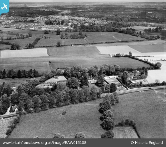
eaw015108 ENGLAND (1948). Runfold Manor and environs, Sandy Cross, from the south, 1948
© Copyright OpenStreetMap contributors and licensed by the OpenStreetMap Foundation. 2024. Cartography is licensed as CC BY-SA.
Nearby Images (7)
EAW015108

EAW015114

EAW015111

EAW015112

EAW015113

EAW015110

EAW015109

Details
| Title | [EAW015108] Runfold Manor and environs, Sandy Cross, from the south, 1948 |
| Reference | EAW015108 |
| Date | 30-April-1948 |
| Link | |
| Place name | SANDY CROSS |
| Parish | TONGHAM |
| District | |
| Country | ENGLAND |
| Easting / Northing | 487838, 147836 |
| Longitude / Latitude | -0.7420382364152, 51.222437047184 |
| National Grid Reference | SU878478 |
Pins
 DavidB |
Sunday 10th of March 2024 06:01:05 PM | |
DavidB |
Sunday 10th of March 2024 05:59:32 PM | |
DavidB |
Sunday 10th of March 2024 05:57:48 PM | |
flubber |
Tuesday 3rd of June 2014 06:21:32 PM | |
flubber |
Tuesday 3rd of June 2014 06:21:07 PM | |
I think the chances are these wagons, by the shear number of them, are in store, out of service. |
John Wass |
Friday 29th of April 2016 07:53:14 PM |
flubber |
Tuesday 3rd of June 2014 06:18:26 PM | |
flubber |
Tuesday 3rd of June 2014 06:17:04 PM |