
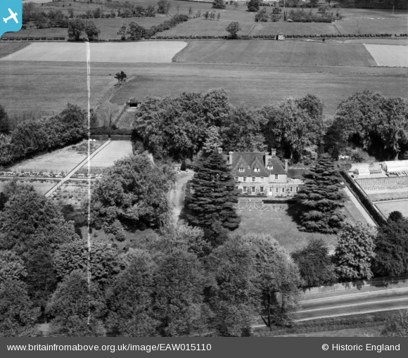
EAW015110 ENGLAND (1948). Runfold Manor, Sandy Cross, 1948. This image was marked by Aerofilms Ltd for photo editing.
© Copyright OpenStreetMap contributors and licensed by the OpenStreetMap Foundation. 2025. Cartography is licensed as CC BY-SA.
Nearby Images (7)
EAW015110

EAW015109

EAW015112

EAW015113

EAW015114

EAW015111

EAW015108

Details
| Title | [EAW015110] Runfold Manor, Sandy Cross, 1948. This image was marked by Aerofilms Ltd for photo editing. |
| Reference | EAW015110 |
| Date | 30-April-1948 |
| Link | |
| Place name | SANDY CROSS |
| Parish | TONGHAM |
| District | |
| Country | ENGLAND |
| Easting / Northing | 487825, 147904 |
| Longitude / Latitude | -0.74220770141036, 51.223050419883 |
| National Grid Reference | SU878479 |
Pins
Be the first to add a comment to this image!