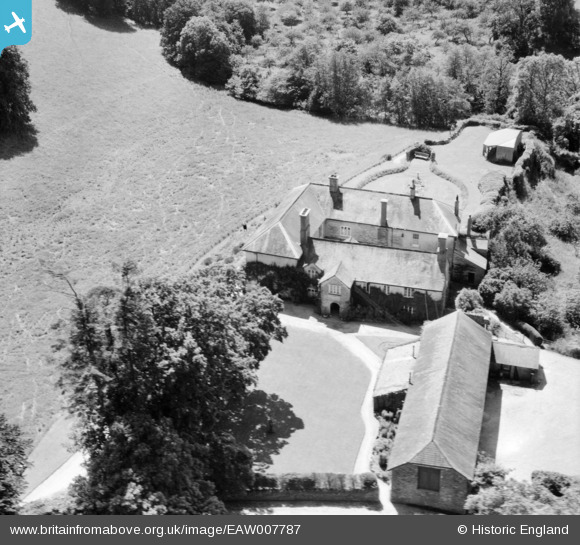
eaw007787 ENGLAND (1947). Loventor, Berry Pomeroy, 1947

© Copyright OpenStreetMap contributors and licensed by the OpenStreetMap Foundation. 2024. Cartography is licensed as CC BY-SA.

Nearby Images (5)

EAW007787
  0° 0m
EAW007791
  342° 13m
EAW007792
  273° 15m
EAW007790
  296° 22m
EAW007789
  318° 188m

Details

Title [EAW007787] Loventor, Berry Pomeroy, 1947
Reference EAW007787
Date 22-June-1947
Link
Place name BERRY POMEROY
Parish BERRY POMEROY
District
Country ENGLAND
Easting / Northing 284665, 62840
Longitude / Latitude -3.6248446729112, 50.453441622527
National Grid Reference SX847628

Pins

Loventor, or Loventor Manor, later Loventor Manor Hotel, later flats and houses. Grade 2 listed building - English Heritage Building ID: 100548 Loventor Lane, Berry Pomeroy, Devon TQ9 6NJ (Nearest town Totnes) Became a hotel in 1964. Country house later in use as an hotel. Circa late C16 with C18 wings remodelled in early C19. The late C16 house is the north-east range. Roughcast stone rubble. Slate roof with gabled ends. Two storeys. Long five-window range. C18 two, three and four-light casements with glazing bars. Gabled two-storey porch to left of centre with round-arch doorway with C20 casement above. The addition of two C18 wings form a U-shaped plan. The name is said to be a corruption of Coventor (built by a rocky cove). IMAGE is 2005 by and copyright Richard Knights, under Creative Commons Attribution Share Alike licence. Source: [[commons:File:Loventor_Manor_-_geograph.org.uk_-_39138.jpg]]

totoro
Friday 9th of May 2014 09:51:25 PM