
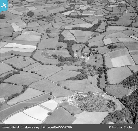
EAW007789 ENGLAND (1947). Countryside around Loventor, Berry Pomeroy, 1947
© Copyright OpenStreetMap contributors and licensed by the OpenStreetMap Foundation. 2025. Cartography is licensed as CC BY-SA.
Nearby Images (5)
EAW007789

EAW007790

EAW007791

EAW007792

EAW007787

Details
| Title | [EAW007789] Countryside around Loventor, Berry Pomeroy, 1947 |
| Reference | EAW007789 |
| Date | 22-June-1947 |
| Link | |
| Place name | BERRY POMEROY |
| Parish | BERRY POMEROY |
| District | |
| Country | ENGLAND |
| Easting / Northing | 284541, 62982 |
| Longitude / Latitude | -3.6266346301204, 50.454693874121 |
| National Grid Reference | SX845630 |
Pins
 totoro |
Friday 9th of May 2014 10:28:05 PM | |
totoro |
Friday 9th of May 2014 10:27:30 PM | |
totoro |
Friday 9th of May 2014 10:27:00 PM | |
totoro |
Friday 9th of May 2014 10:25:34 PM | |
totoro |
Friday 9th of May 2014 10:24:46 PM | |
totoro |
Friday 9th of May 2014 10:23:51 PM | |
totoro |
Friday 9th of May 2014 10:19:52 PM | |
totoro |
Friday 9th of May 2014 10:18:27 PM | |
totoro |
Friday 9th of May 2014 10:18:02 PM | |
totoro |
Friday 9th of May 2014 10:13:39 PM | |
totoro |
Friday 9th of May 2014 10:04:47 PM |