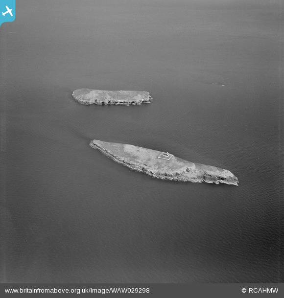
WAW029298 WALES (1950). View of St Tudwal's Islands, commissioned by C.L.S. Cornwall-Legh

© Copyright OpenStreetMap contributors and licensed by the OpenStreetMap Foundation. 2025. Cartography is licensed as CC BY-SA.

Nearby Images (12)

WAW029271
  0° 0m
WAW029272
  0° 0m
WAW029273
  0° 0m
WAW029274
  0° 0m
WAW029275
  0° 0m
WAW029276
  0° 0m
WAW029277
  0° 0m
WAW029278
  0° 0m
WAW029279
  0° 0m
WAW029297
  0° 0m
WAW029298
  0° 0m
WAW029299
  0° 0m

Details

Title [WAW029298] View of St Tudwal's Islands, commissioned by C.L.S. Cornwall-Legh
Reference WAW029298
Date 1950
Link Coflein Archive Item 6414202
Place name
Parish
District
Country WALES
Easting / Northing 234131, 325882
Longitude / Latitude -4.4609321676578, 52.804615703052
National Grid Reference SH341259

Pins

Lighthouse on West island

totoro
Friday 13th of March 2015 09:38:22 PM
Ynysoedd Sant Tudwal (St. Tudwal's Islands) Near to Abersoch. St Tudwal's Island West is home to the landmark lighthouse and is a long thin island. The island is privately owned. Recent owner: adventurer Bear Grylls (for holiday home). There is no natural fresh water supply. St. Tudwal's Island East was once home to a monastery. The priory was mentioned in 1291, last mentioned in 1511 and the priory church described as desolate in 1540. A small building is all that remains, possibly 18th C when the island was farmed, turned into a chapel in 1886. A concrete floor was inserted in the 1930's. Traces of an extensive network of paths represent a monastic garden associated with a short lived monastic revival in 1886-7 There is a fresh water spring. About 500m x 200m with a high point of about 38m. The island is privately owned. Recent owner: author Carla Lane (for animal sanctuary). See wikipedia [[Saint Tudwal's Islands]]

totoro
Friday 13th of March 2015 09:36:51 PM