
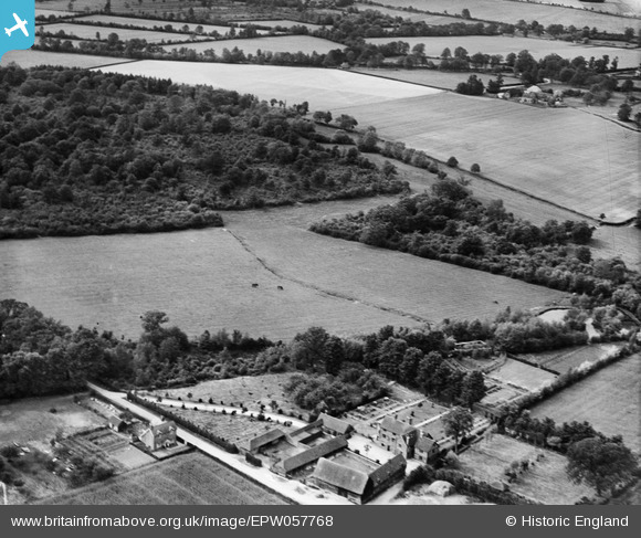
EPW057768 ENGLAND (1938). Hillend Farm, Sherborne St John, 1938
© Copyright OpenStreetMap contributors and licensed by the OpenStreetMap Foundation. 2025. Cartography is licensed as CC BY-SA.
Nearby Images (7)
EPW057768

EPW057764

EPW057763

EPW057759

EPW057757

EPW057765

EPW057760

Details
| Title | [EPW057768] Hillend Farm, Sherborne St John, 1938 |
| Reference | EPW057768 |
| Date | 26-June-1938 |
| Link | |
| Place name | SHERBORNE ST JOHN |
| Parish | SHERBORNE ST. JOHN |
| District | |
| Country | ENGLAND |
| Easting / Northing | 462234, 158122 |
| Longitude / Latitude | -1.1068741869238, 51.31829303319 |
| National Grid Reference | SU622581 |
Pins

totoro |
Thursday 7th of November 2013 07:08:40 PM | |
|
totoro |
Thursday 7th of November 2013 07:08:06 PM | |
|
totoro |
Thursday 7th of November 2013 07:06:42 PM | |
|
totoro |
Thursday 7th of November 2013 06:53:20 PM |