
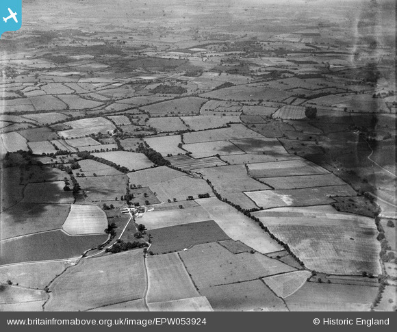
EPW053924 ENGLAND (1937). Whatbarns Farm and surrounding countryside, Aspenden, 1937. This image has been produced from a damaged negative.
© Copyright OpenStreetMap contributors and licensed by the OpenStreetMap Foundation. 2025. Cartography is licensed as CC BY-SA.
Nearby Images (2)
EPW053924

EPW053930

Details
| Title | [EPW053924] Whatbarns Farm and surrounding countryside, Aspenden, 1937. This image has been produced from a damaged negative. |
| Reference | EPW053924 |
| Date | June-1937 |
| Link | |
| Place name | ASPENDEN |
| Parish | ASPENDEN |
| District | |
| Country | ENGLAND |
| Easting / Northing | 534467, 227320 |
| Longitude / Latitude | -0.044153194607371, 51.927698722952 |
| National Grid Reference | TL345273 |
