
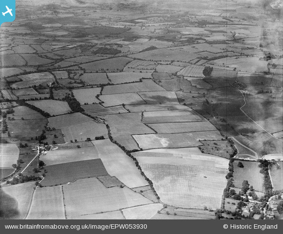
EPW053930 ENGLAND (1937). Whatbarns Farm and surrounding countryside, Aspenden, 1937. This image has been produced from a damaged negative.
© Copyright OpenStreetMap contributors and licensed by the OpenStreetMap Foundation. 2026. Cartography is licensed as CC BY-SA.
Nearby Images (2)
EPW053930

EPW053924

Details
| Title | [EPW053930] Whatbarns Farm and surrounding countryside, Aspenden, 1937. This image has been produced from a damaged negative. |
| Reference | EPW053930 |
| Date | June-1937 |
| Link | |
| Place name | ASPENDEN |
| Parish | ASPENDEN |
| District | |
| Country | ENGLAND |
| Easting / Northing | 534476, 227531 |
| Longitude / Latitude | -0.043939906107313, 51.929592722262 |
| National Grid Reference | TL345275 |
Pins

totoro |
Saturday 19th of April 2014 04:29:29 PM | |
|
totoro |
Saturday 19th of April 2014 04:28:49 PM | |
|
totoro |
Saturday 19th of April 2014 04:28:05 PM | |
|
totoro |
Saturday 19th of April 2014 04:27:27 PM | |
|
totoro |
Saturday 19th of April 2014 04:27:07 PM | |
|
totoro |
Saturday 19th of April 2014 04:25:56 PM | |
|
totoro |
Saturday 19th of April 2014 04:24:20 PM | |
|
totoro |
Saturday 19th of April 2014 04:23:22 PM | |
|
totoro |
Saturday 19th of April 2014 04:20:41 PM | |
|
totoro |
Saturday 19th of April 2014 04:20:12 PM |
User Comment Contributions
This view is looking towards the West |
totoro |
Saturday 19th of April 2014 04:21:25 PM |