
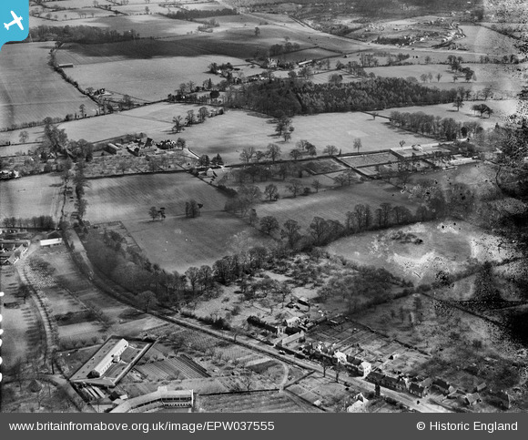
EPW037555 ENGLAND (1932). Countryside to the east of Woodside Road, Abbots Langley, from the south-west, 1932
© Copyright OpenStreetMap contributors and licensed by the OpenStreetMap Foundation. 2025. Cartography is licensed as CC BY-SA.
Nearby Images (2)
EPW037555

EPW037551

Details
| Title | [EPW037555] Countryside to the east of Woodside Road, Abbots Langley, from the south-west, 1932 |
| Reference | EPW037555 |
| Date | April-1932 |
| Link | |
| Place name | ABBOTS LANGLEY |
| Parish | ABBOTS LANGLEY |
| District | |
| Country | ENGLAND |
| Easting / Northing | 510572, 201693 |
| Longitude / Latitude | -0.39972931521654, 51.702611178323 |
| National Grid Reference | TL106017 |
Pins
Be the first to add a comment to this image!