
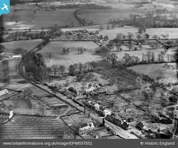
EPW037551 ENGLAND (1932). Woodside Road and environs, Abbots Langley, from the south-west, 1932
© Copyright OpenStreetMap contributors and licensed by the OpenStreetMap Foundation. 2026. Cartography is licensed as CC BY-SA.
Nearby Images (3)
EPW037551

EPW037555

EPW047065

Details
| Title | [EPW037551] Woodside Road and environs, Abbots Langley, from the south-west, 1932 |
| Reference | EPW037551 |
| Date | April-1932 |
| Link | |
| Place name | ABBOTS LANGLEY |
| Parish | ABBOTS LANGLEY |
| District | |
| Country | ENGLAND |
| Easting / Northing | 510513, 201627 |
| Longitude / Latitude | -0.40060376593696, 51.702029549407 |
| National Grid Reference | TL105016 |
Pins
Be the first to add a comment to this image!